
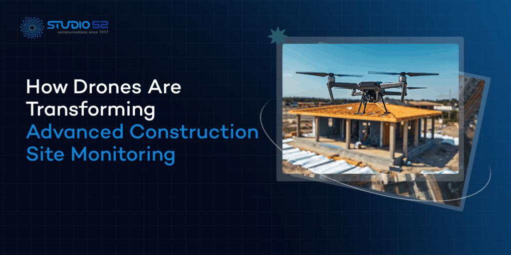

Managing a large construction site has never been easy. You have got workers on multiple levels, equipment moving in every direction, deadlines that never seem flexible, and stakeholders calling for updates you barely have time to prepare. Traditional monitoring just was not built for this kind of complexity.
That is where things have genuinely shifted. Advanced construction site monitoring is no longer about clipboards and weekly walkthroughs. Drones have entered the picture, and the way construction teams work, plan, and report has changed because of it.
Table of Content
What Is Drone-Based Construction Site Monitoring?
At its core, drone construction monitoring means using unmanned aerial vehicles to watch, document, and analyze a site throughout its entire build cycle. Not just at the beginning or end but continuously, at every stage in between.
The difference from traditional monitoring is not subtle. A site manager walking the ground sees one corner of the project at a time. A drone sees everything. It covers the entire site in minutes, captures high-resolution data, and has that information ready for the team before the morning briefing is over. That is not just convenient. For large, complex projects, it is essential.
Why Drones Are Revolutionizing Construction Monitoring
3.1 Real-Time Site Visibility
One of the biggest frustrations on any project is the lag between what is happening on site and what leadership actually knows about. With drone construction monitoring, that gap closes dramatically. Live aerial views give project managers, site engineers, and clients a real picture of construction progress without anyone having to physically be there. Faster updates reach teams and stakeholders, and decisions get made on current information rather than last week’s report.
3.2 Improved Safety and Risk Management
Construction sites are dangerous environments. Sending workers to inspect scaffolding at height, unstable structures, or confined underground spaces adds unnecessary risk to an already hazardous job. Construction site drone inspection changes that equation. Drones monitor hazardous or difficult areas safely, spotting problems before they turn into incidents. The result is fewer accidents, stronger compliance, and a safer site overall.
3.3 Faster Data Collection
Ask any site surveyor how long a traditional ground survey takes across a large project, and you will understand why drone surveying for construction has caught on so quickly. What used to take a team of people several days now takes a fraction of that time. Aerial surveys are completed faster, cover more ground, and produce more detailed data than conventional methods ever could. That time saving adds up significantly across the life of a project.
3.4 Accurate Progress Tracking
Construction progress tracking is one of those things that sounds straightforward but is actually quite difficult to do consistently. Drones make it far more reliable. Every flight produces a timestamped visual record of exactly how the project stands at that moment. Comparing actual progress against planned milestones becomes a straightforward exercise rather than a frustrating guessing game. Documentation improves, reporting becomes more honest, and disputes are easier to resolve.
Key Drone Technologies Used in Construction Monitoring
4.1 Aerial Photography and Videography
High-resolution aerial photography and videography are the foundation of everything else. These are not just impressive visuals for the boardroom. They are practical, detailed records that help teams identify issues, track changes, and communicate progress in a way that everyone from the project director to the client can actually understand.
4.2 Drone Mapping and Surveying
Drone mapping construction has become one of the most widely adopted applications in the industry. Using photogrammetry and LiDAR technology, drones generate accurate 2D orthomosaic maps and detailed 3D models of a site. These are used for volume calculations, earthwork comparisons, terrain analysis, and checking as-built conditions against original designs. Drone surveying for construction delivers a level of precision and speed that traditional surveying methods simply cannot compete with.
4.3 Thermal and Inspection Drones
Not everything that needs to be found on a construction site is visible to the naked eye. Thermal drones detect heat variations across structures, identifying electrical faults, water ingress, insulation failures, and early signs of structural weakness. On large industrial or infrastructure builds, catching one of these issues early can prevent failures that would cost hundreds of thousands to fix later.
4.4 AI and Cloud Integration
Modern construction site monitoring technology has moved well beyond just capturing footage. AI-powered platforms now process drone footage for construction projects automatically, flagging anomalies, tracking equipment movement, monitoring workforce density, and even identifying patterns that suggest potential delays. Cloud integration means all of this is accessible to the right people at any time, whether they are sitting on site or in an office on the other side of the world.
Benefits of Drone Monitoring for Construction Projects
5.1 Enhanced Project Management
When project managers have real aerial insights rather than secondhand reports, their ability to make good decisions improves noticeably. Problems get caught the same morning they appear rather than a week later. Resources get reallocated before delays compound. Coordination between contractors becomes less chaotic. The whole operation runs more smoothly when the people making decisions can actually see what is happening.
5.2 Better Stakeholder Communication
Not every investor or client has a technical background. Drone footage and aerial photography translate complex project data into visual updates that are clear, engaging, and genuinely reassuring to receive. Studio 52 helps construction companies turn professional aerial content into powerful communication tools that build real client confidence from groundbreaking through to handover.
5.3 Reduced Operational Costs
Fewer manual inspections mean fewer labor hours spent on routine tasks that drones handle better and faster. Early identification of issues prevents expensive fixes later. The return on investment from construction site monitoring technology shows up quickly and keeps growing as projects scale in size and complexity.
5.4 Improved Documentation and Compliance
Maintaining accurate records is both a legal and contractual requirement on most major builds. Aerial construction monitoring creates a consistent, timestamped visual archive that supports compliance reporting, helps resolve contractor disputes, and provides a solid foundation for post-project reviews. Nothing gets misremembered when the entire project is documented from above.
Use Cases of Drone Monitoring in Construction
6.1 High-Rise Developments
Monitoring vertical construction progress floor by floor is genuinely difficult from the ground. Drones handle it naturally, inspecting each level and giving teams a clear overview of how the structure is developing over time. Issues that would be invisible from street level are spotted early and addressed before they affect the program.
6.2 Infrastructure Projects
For roads, bridges, railways, and tunnels, construction site drone inspection covers vast stretches of terrain that traditional survey teams would take days to cover on foot. Drone mapping construction keeps these complex linear projects properly documented and on track throughout their entire build cycle.
6.3 Industrial and Oil and Gas Sites
These environments carry serious safety risks and demand constant, thorough monitoring. Aerial construction monitoring lets operators conduct detailed inspections without disrupting active operations or putting workers in harm’s way. It is one of the clearest examples of drone technology genuinely improving safety outcomes on the ground.
6.4 Smart City and Mega Projects
Long-term developments need monitoring solutions that hold up consistently over months and years. Drones deliver exactly that, capturing regular aerial data across the full lifecycle of ambitious large-scale projects. Whether it is a new urban district or a national infrastructure program, the visual record they create is invaluable.
Combining Drones with Timelapse Monitoring
Here is where things get particularly interesting. When drone footage and timelapse cameras work together, the result is a monitoring solution that covers both the broad aerial picture and the fine on-ground detail continuously.
Drones provide periodic aerial overviews and detailed inspection data. Fixed timelapse cameras capture long-term construction progress from carefully positioned angles. Together they create real-time and long-term visual documentation that is as useful for project management as it is compelling for marketing and client communication.
The output includes cinematic project progress videos that tell the complete story of a build from first dig to final finish. Studio 52 specializes in combining professional drone operations with time-lapse expertise, delivering aerial construction monitoring content that genuinely stands apart from generic site photography.
Future of Drone Technology in Construction Monitoring
The direction this technology is heading is exciting. AI-powered drone inspections will soon autonomously identify structural defects, measure material quantities, and produce compliance reports with minimal human input beyond scheduling the flight.
Automated drone flights following preset routes will make regular site surveys completely hands-off. Integration with Building Information Modeling systems will allow drone-captured data to update digital twins in real time. In rapidly growing markets like the UAE and Saudi Arabia, where mega projects and smart city initiatives are creating enormous demand for advanced construction site monitoring, drone adoption is accelerating faster than almost anywhere else globally.
Why Choose Professional Drone Monitoring Services
Professional services bring licensed drone operators who understand local airspace regulations and compliance requirements. They also bring high-quality equipment capable of capturing the resolution and detail that serious construction data demands. The gap between a professional operation and an improvised one is visible immediately in the quality of deliverables.
Studio 52 offers end-to-end drone monitoring solutions built specifically for construction. From flight planning and data capture through to processing, reporting, and cinematic video production, every part of the service is designed around what construction teams actually need. Reliable reporting, consistent quality, and deep expertise in visual documentation make Studio 52 the right partner for any team that takes monitoring seriously.
Conclusion
Drones have permanently changed what advanced construction site monitoring looks like. The improvements they deliver in safety, efficiency, accuracy, and communication are not incremental upgrades. They represent a fundamentally better way to run a project, document progress, and serve clients.
Construction companies that build drone monitoring into their operations today are not just keeping up with the industry. They are gaining a real competitive edge in how they deliver projects and how confidently they can talk about them.
Contact Studio 52 today for professional drone and aerial monitoring solutions that keep your project on track, fully documented, and ahead of the competition.