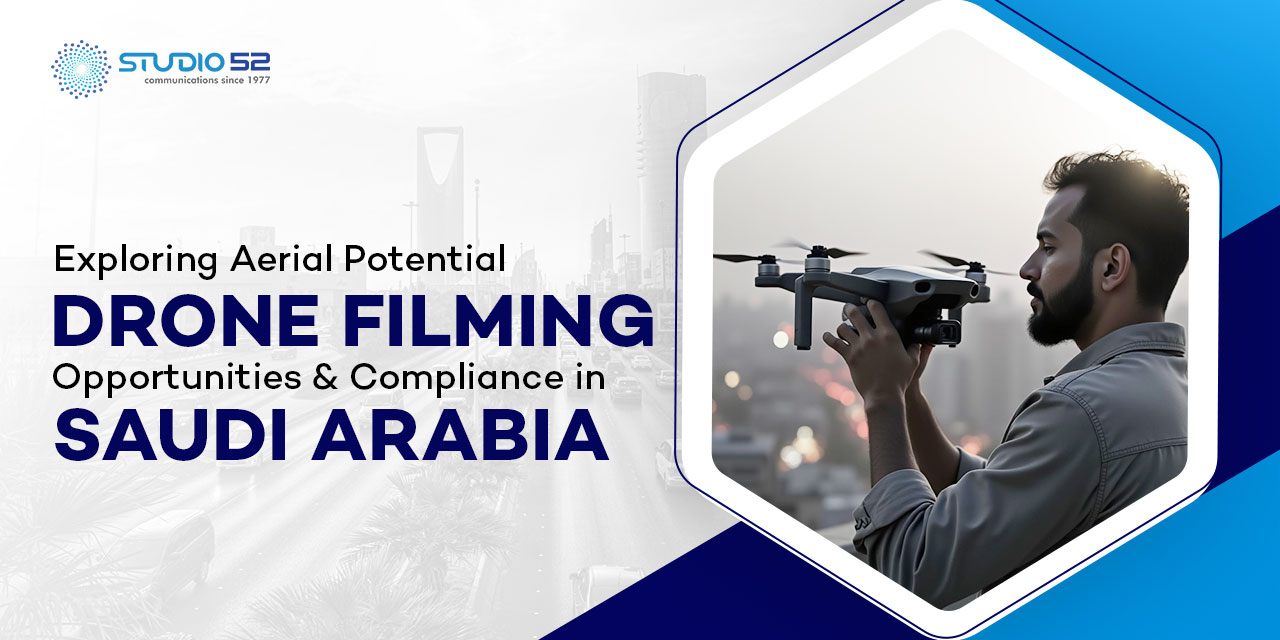

Drone video production services have become a transformative force in Saudi Arabia’s construction sector, where rapid urbanization and massive infrastructure projects demand real-time data, enhanced safety, and operational efficiency.
The kingdom has initiated over $1.3 trillion in real estate and infrastructure developments as part of its Vision 2030 plan to diversify the economy. Mega-projects like NEOM and The Line exemplify this ambitious growth.
With rapid urbanization and mega-projects like NEOM, The Line, and Qiddiya, there’s a pressing demand for real-time data, site safety, and operational efficiency. In cities like Riyadh and Jeddah, drones are redefining how construction companies plan, execute, and monitor their projects.
Equipped with advanced sensors such as RGB, thermal, and LiDAR, drones can survey up to 500 hectares per day, delivering high-resolution aerial visuals in minutes.
This fast data collection allows project managers to cut survey costs by 30% and reduce delays caused by manual inspections, helping projects stay on budget and on schedule.
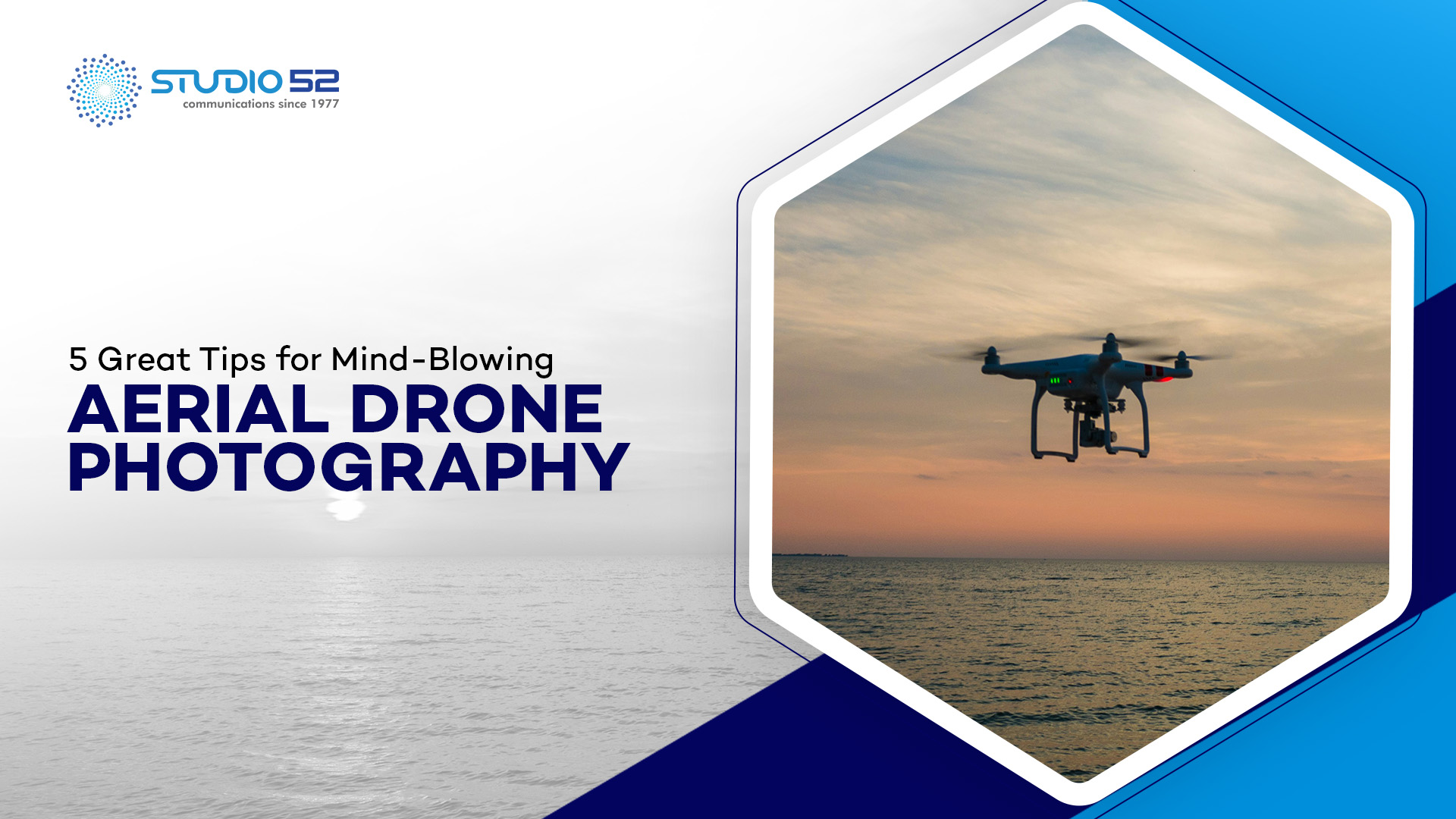
Unlock the full potential of aerial photography and videography to capture stunning visuals from the skies.
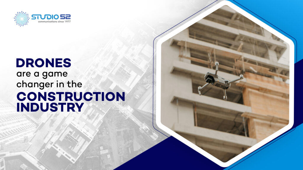
Top Benefits of Using Drones in Saudi Arabia’s Construction Industry
With giga-projects like NEOM, Qiddiya, and The Red Sea Project, Saudi Arabia is undergoing a massive construction transformation. In this dynamic environment, commercial drone services have become essential for improving project oversight, efficiency, and safety.
Here’s how drones are revolutionizing construction across the Kingdom:
-
Table of Content
Progress Tracking with Aerial Insights
Using high-resolution visuals captured by drones, contractors can monitor site progress in real-time. For example, teams working on the Riyadh Metro use footage from a drone videography company to generate weekly updates for stakeholders and investors.
-
Early Detection of On-Site Issues
Drones detect problems like structural misalignments or roofing gaps before they become costly delays. A drone videography company working on a high-rise development in Jeddah helped identify a critical foundation issue early, saving time and money.
-
Improved Site Safety
Drones reduce the need for human access to dangerous zones such as high scaffolding or machinery-heavy areas. This is especially vital in industrial zones like Jubail, where commercial drone services are often used for routine inspections.
-
Remote Monitoring Across Locations
Construction teams can monitor projects remotely. For instance, during the development of The Red Sea Project, a drone operator on-site could stream footage to project managers based in Riyadh using commercial drone services.
-
Enhanced Communication with Visual Reporting
Aerial images and video simplify updates for stakeholders. Instead of lengthy technical documents, drone visuals—captured by professional drone videography companies—offer a clearer view of progress, helping align all parties.
-
Significant Time & Cost Savings
Using drone mapping drastically cuts down surveying time. A road expansion project near Tabuk used commercial drone services to complete land assessments 60% faster than traditional methods, keeping the project on schedule.
-
Marketing and Investor Presentations
Drone footage is also a powerful marketing tool. Giga-projects like The Line at NEOM utilize polished drone videos from leading drone videography companies to showcase development milestones to global audiences and investors.
Benefits of Using Drones Across the Construction Lifecycle in Saudi Arabia
Saudi Arabia continues to lead the Middle East in mega-infrastructure projects—like NEOM, Diriyah Gate, and the King Salman Park—aerial drone videography has emerged as a game-changing technology throughout every stage of the construction lifecycle.
-
Efficient Bidding and Pre-Planning
Drones are critical during the pre-construction phase, offering fast topographic surveys—even in remote deserts or mountainous terrain with no road access. What used to take days is now done in hours using professional drone photography services, giving contractors a clear advantage in bidding and early planning.
-
Enhanced Design and Visualization
Architects and civil engineers are using drone-captured orthophotos and 3D site models to virtually overlay proposed structures onto the landscape. This technology helps visualize how a new residential tower in Riyadh or a logistics hub near Jeddah will integrate with its environment before a shovel hits the ground.
Discover great tips for aerial drone photography to capture stunning, professional-grade visuals from the sky.
-
Smarter Construction Execution
In the execution phase, aerial drone videography helps generate accurate point clouds for volume calculations. Contractors working on earthmoving projects in Qiddiya, for instance, use this data to run cut/fill analyses, reducing rework and ensuring fair compensation for soil movement based on precise measurements.
-
Precision-Based Earthwork Validation
In Saudi Arabia’s large-scale developments, earthmoving contractors are paid based on the volume of material shifted. Drones equipped with photogrammetry tools provide centimeter-level accuracy, minimizing errors in calculations and ensuring transparent billing and payments.
-
Frequent, Low-Cost Progress Monitoring
Thanks to the affordability of operating drones, companies can now conduct regular surveys without breaking the budget. With consistent data collection through professional drone photography services, contractors keep NEOM’s residential zones and roads on time and within budget.
-
Improved Communication and Transparency
Visual progress reports from aerial drone videography can be shared with stakeholders, from government officials to private investors. Project managers working on The Red Sea Project use weekly drone updates to communicate key milestones to international partners—keeping expectations aligned.
-
Real-Time Remote Access & Collaboration
By 2025, remote collaboration is a standard. Drone footage captured on-site in AlUla can be instantly reviewed by architects and consultants sitting in Dammam or even abroad. This real-time access to high-quality visuals accelerates decision-making and strengthens cross-border collaboration.
Costs of Drones
As of 2025, the cost of drones varies widely based on functionality. Entry-level models suitable for basic site monitoring can range from $500 to $2,000, while high-performance drones equipped with LiDAR, thermal imaging, and advanced GPS capabilities—ideal for commercial drone services—can cost anywhere from $5,000 to over $40,000, depending on features and brand.
Explore drones for real estate benefits to boost property visibility, capture stunning aerial views, and accelerate sales with impactful visuals.
Ready to Elevate Your Construction Projects?
Have you ever commissioned a drone videography company for your site? Was your last drone project everything you envisioned? Did the footage truly capture the scale, progress, and key elements of your construction site?
At Studio52, we specialize in professional drone photography services and aerial drone videography tailored specifically for the construction industry. From progress tracking to safety inspections, our drone visuals bring unmatched clarity and value.
We’ve worked with some of the biggest names in construction across Dubai and the Middle East. Let us help you transform your vision into high-impact visuals.
Book your consultation today and discover what expert drone footage can do for your next project.